
FEATURES
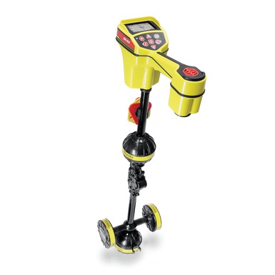
Large display - shows the utility’s estimated position, direction, and depth
Omnidirectional antennas - capture the complete signal field for greater speed and accuracy
Built-In GPS - track location coordinates for mapping and GIS applications
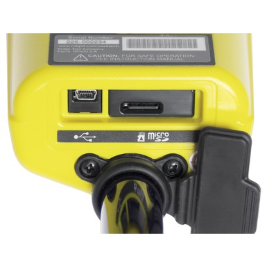
Bluetooth® technology - stream data to smartphones, tablets, or high-precision GPS instruments
Smartphone/Tablet App - map multiple tracks and waypoints and export to GIS software
Can trace any frequency from 10 Hz to 35,000 Hz
SPECIFICATIONS
Active Line Trace Frequencies: *128 Hz, 1 kHz, 8 kHz and 33 kHz
Passive Power Trace: 50 Hz, 60 Hz, <4 kHz Broadband
Passive Radio Trace: 4 kHz-15 kHz, 15 kHz-36 kHz
Sonde Frequencies: *16 Hz, 512 Hz, 640 Hz, 850 Hz, 8 kHz, 16 kHz, 33 kHz
Power Source: 4 C-Cell Batteries
Battery Life: Approximately 16 Hours
Weight: 3.5 lbs. (1,6 kg)
Wireless Technology: Bluetooth® Class 1
Wireless Range: 1093 yards (1000 meters)
GPS Average Accuracy: Less than 2.5 m (8.2 ft)
* 30 user definable frequencies can be set from 10 Hz to 35,000 Hz.
Meets FCC Class A and EN 55022 Class A requirements
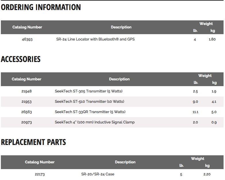
SR-24 Line Locator with Bluetooth® and GPS
The SR-24 is a precision utility locating instrument with GPS and Bluetooth® technology for easy integration with external data capture devices.
The SR-24’s omnidirectional antennas capture the complete signal field, making it easy to acquire the signal and trace its path. The receiver displays the utility's position and direction on the display, providing an intuitive locating experience. For added confidence, audio and visual warnings notify the operator if the shape of the signal field is being distorted so that appropriate action can be taken to avoid mismarking the utility’s position.